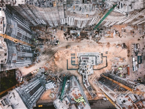


 Right from traffic signals to monitoring public places, government departments have a huge responsibility to keep things regulated. Centrally monitoring the public activities help in an efficient administration. Specially developed for government projects, Bird’s Eye open-access tool can be publically accessed & creates a transparency solution.
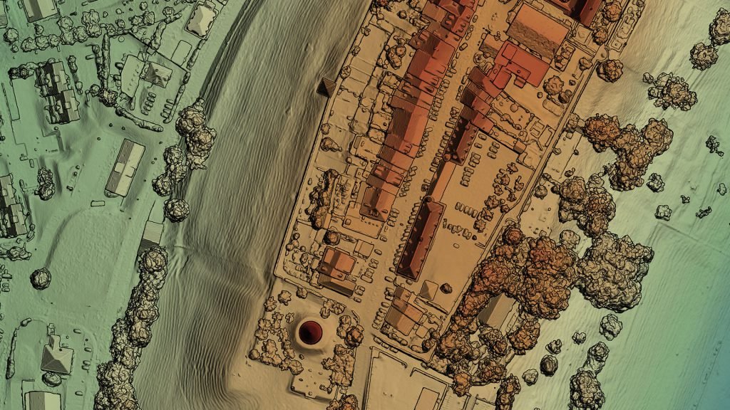
 Visualizing long term processes of changes in the marine realm indicating the transformation of sites, objects & organisms is of great importance to researchers. These processes are too slow for human perception & can be remotely observed through time lapse videos captured over an extended period of time.
 The power sector incorporates heavy machinery installations. Such operations have to be continuously monitored by the trained officials on-site & off the site. Bird’s Eye helps in monitoring & systematically documenting such operations. May it be the turbine in a power plant or a windmill installation on open ground, Bird’s Eye planning tool breaks down the activity into small events & produces event-based time-lapses to witness the minute details.
 Manufacturing units produce thousands of units every day & keep an eye on every piece is difficult. But checking the pace of production & quality control on a daily basis is made simple through daily time-lapse videos. A 20-25 second video shows all the activities that occurred in the production area.
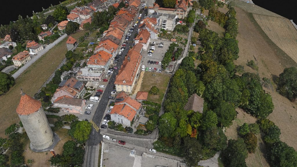
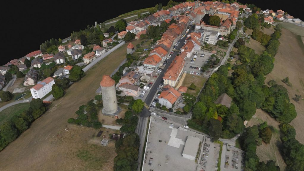
 Time-lapse opens up an opportunity for tourism departments to attract people. Bring the heritage to the spotlight by creating amazing time lapse videos.