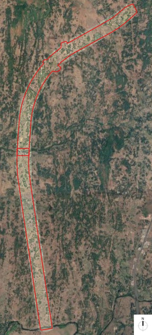
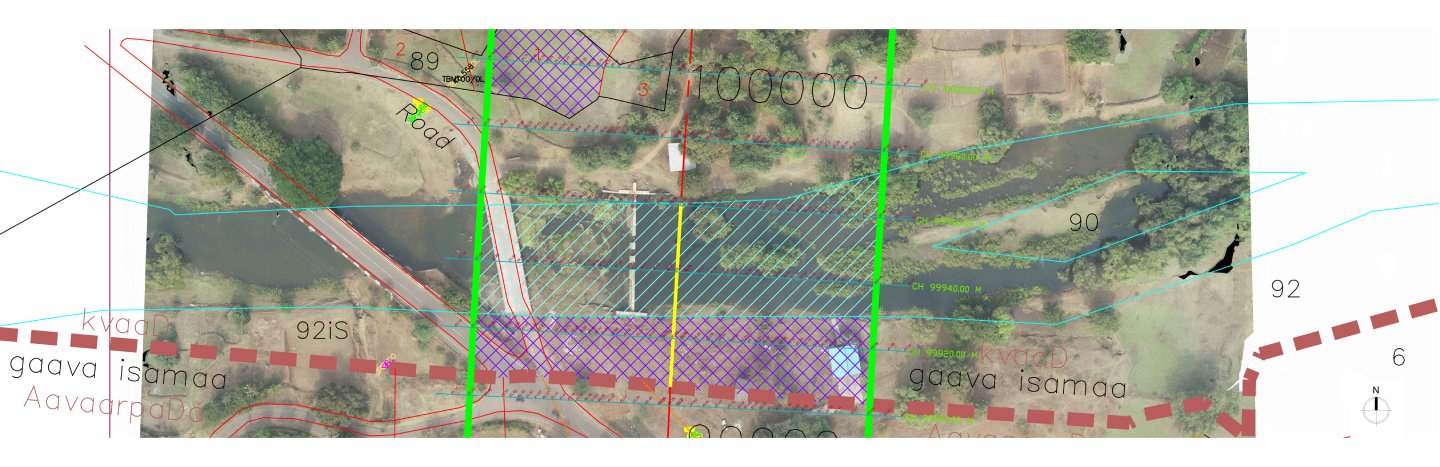
The pre-feasibility survey for roads using UAV is one of the ef- ficient & elegant solutions to analyze the remort parts of the earth. The Area of Interest (AOI) is marked in red color. The UAV data captured in this region is utilized for various applica- tions depending on the data type. UAV captured data provide us the minute details of XYZ of the location, orthomosaic is the representation of the XY whereas Digital Surface Model (DSM) & Digital Terrain Model (DTM) are the representation of XYZ.
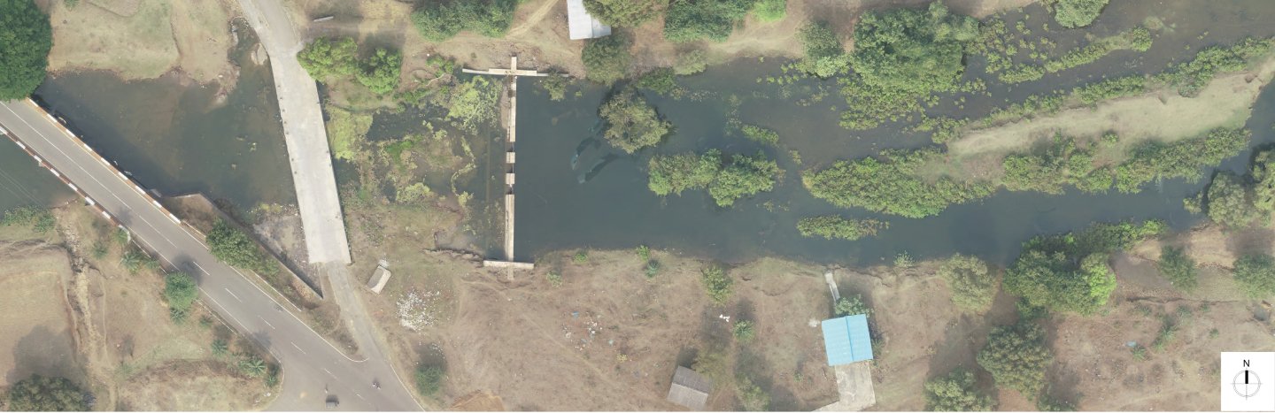
Orthomosaic is generated at the 2cm GSD, its resolu-
tion can be observed in the below images. Here, any hut-ments, trees, farmlands, existing roads & utilities are visible,
and relevant data is derived for the mapping & estimations.
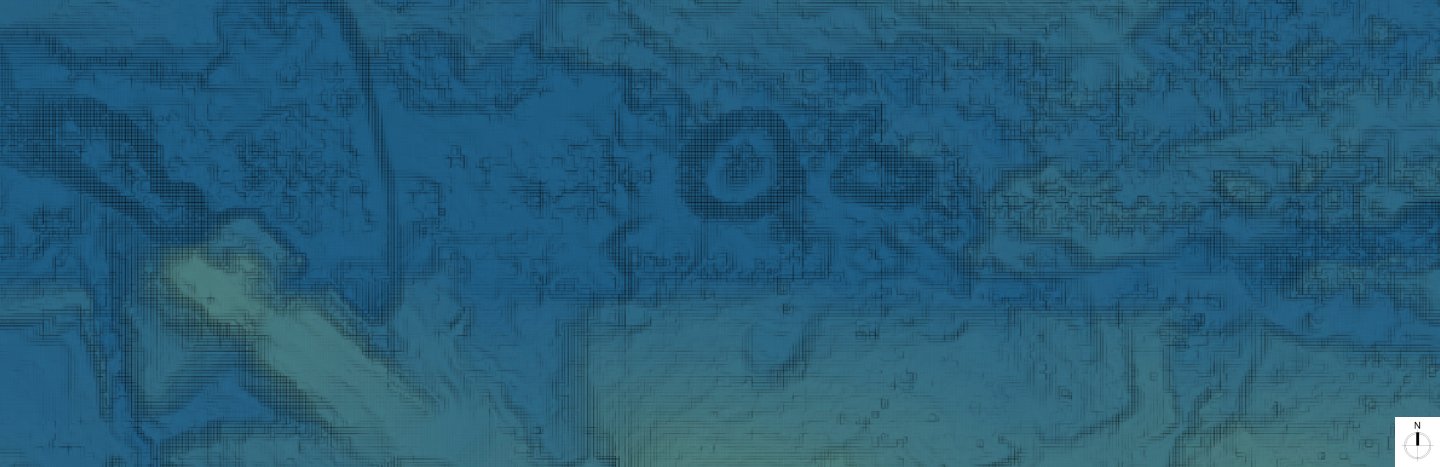
DTM is generated at 15cm GSD, with such a fine DTM further many
outputs are derived. the contours at 1m interval are generated, 3m
Grid levels are generated & sectional levels are derived respectively.
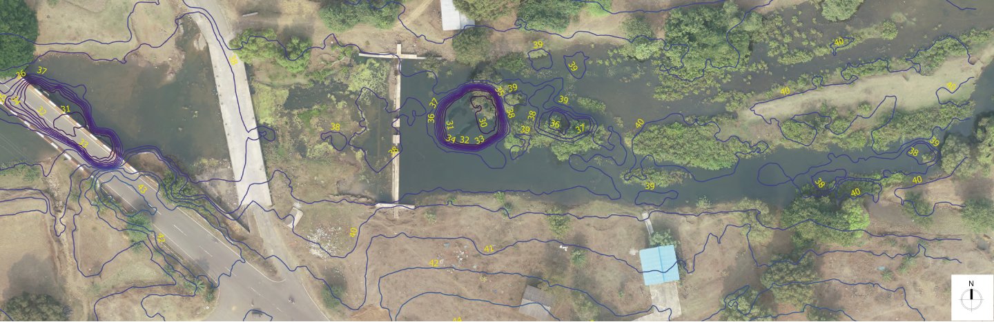
DSM is generated at 2cm GSD. DSM & Orthomosaic combined
is used for asset mapping like hutments, buildings, trees, etc.
Finally, all the data for asset mapping & levels are compiled in the
CAD platform with orthomosaic is attached in the form of ECW
format. One can get a smooth experience with data & ease in
decision making.