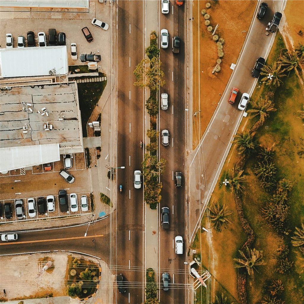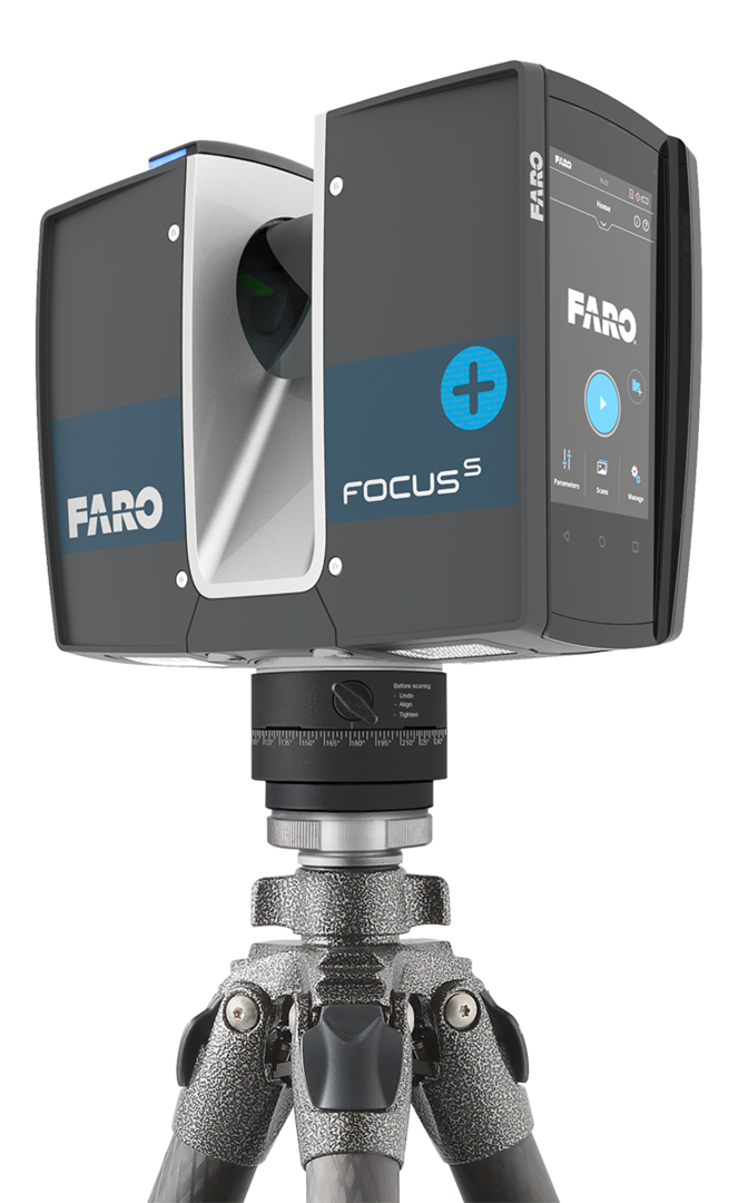
 LIDAR equipment, which includes a laser scanner, a Global Positioning Sys-tem (GPS), and an Inertial Navigation System (INS), is generally mounted as required on an UAV or ground. The laser scanner transmits brief laser pulses to the ground surface, from which they are reflected or scattered back to the laser scanner. Detecting the returning pulses, the equipment records the time that it took for them to go from the laser scanner to the ground and back. The distance between the laser scanner and the ground is then calculated based on the speed of light.
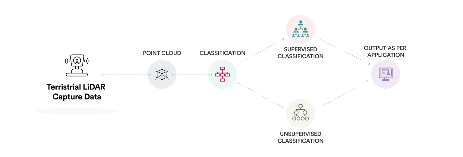
 Every lidar point can have a classification assigned to it that defines the type of object that has reflected the laser pulse. Lidar points can be classified into a number of categories including bare earth or ground, top of canopy, and water. The different classes are defined using numeric integer codes in the LAS files.
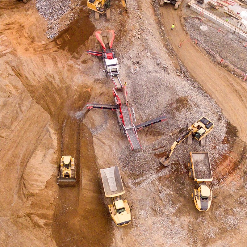
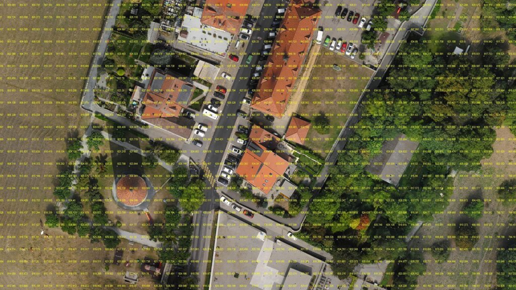
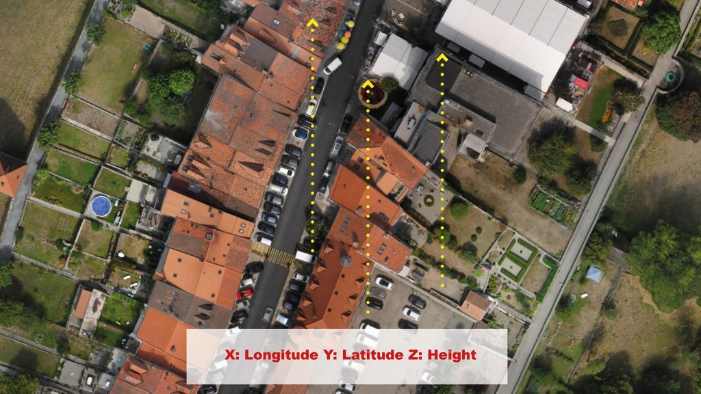
 Digital Terrain Models (DTM) sometimes called Digital Elevation Models (DEM) is a topographic model of the bare Earth that can be manipulated by computer programs.The data files contain the elevation data of the terrain in a digital for-mat which relates to a rectangular grid. Vegetation, buildings and other cultural features are removed digitally – leaving just the underlying terrain.DTMs are used especially in civil engineering, geodesy & surveying, geophysics, geog-raphy and remote sensing.
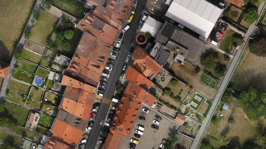
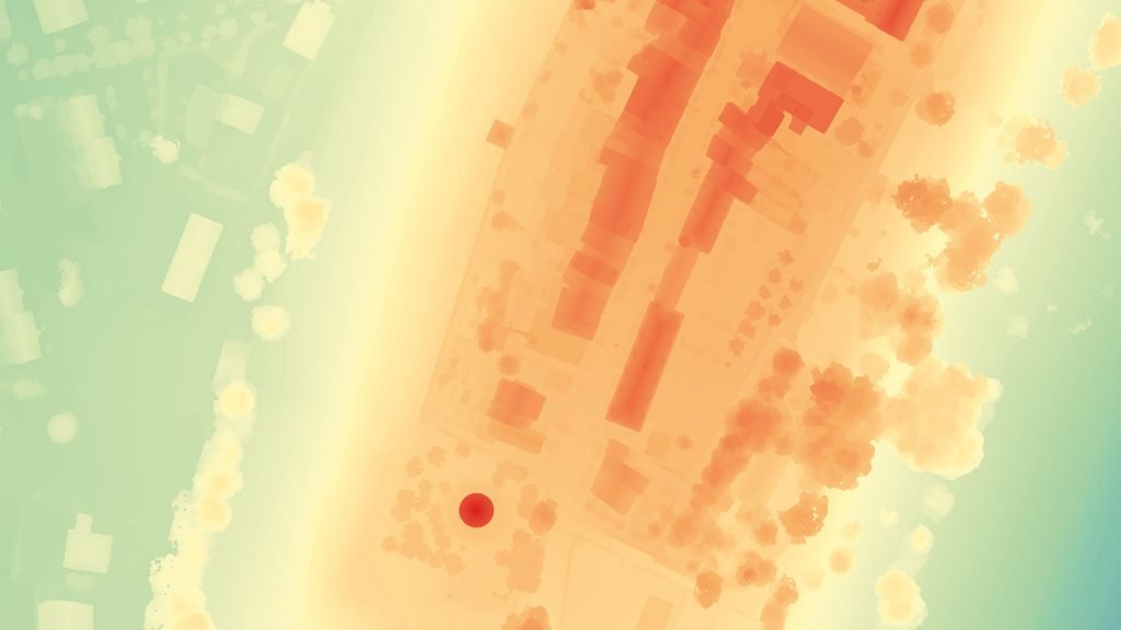
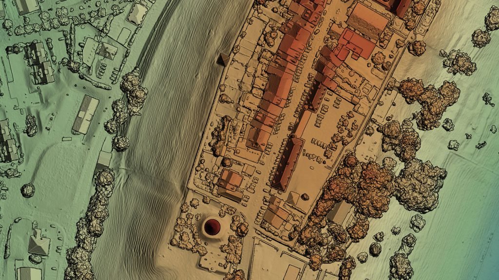
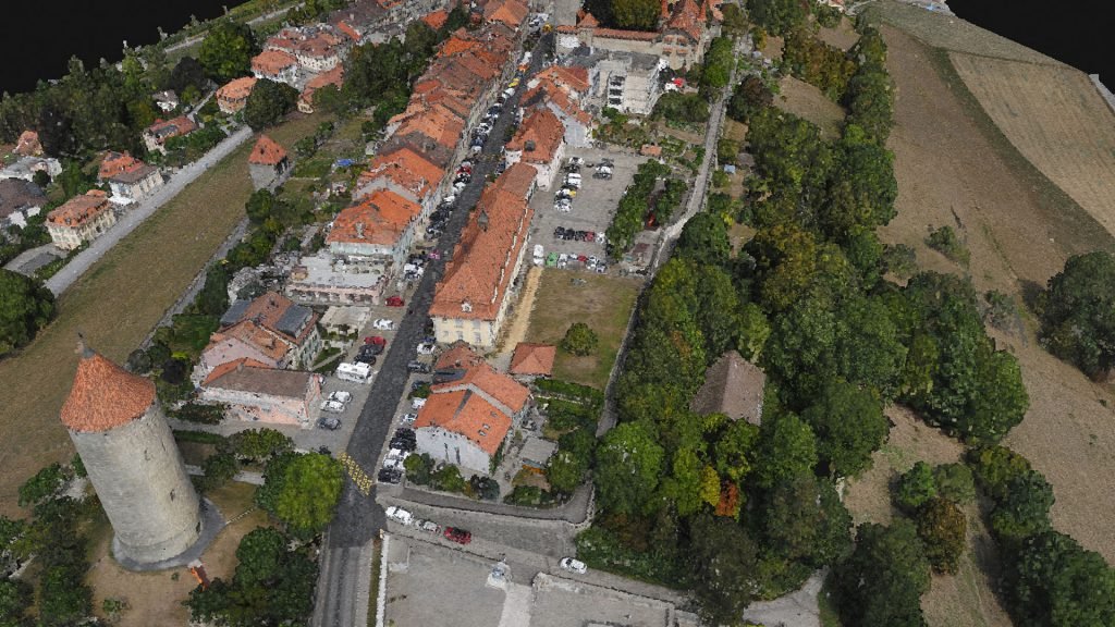
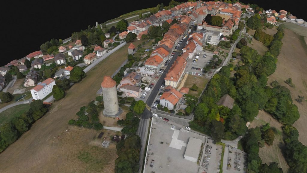
 Digital Surface Model (DSM) that includes ground surface, vegetation and man-made objects. DSM demonstrate the natural and artificial features on the Earth’s surface. Digital Surface Model may be useful for RF planning, land-scape modelling, city modelling, visualization applications and more