Drone Survey
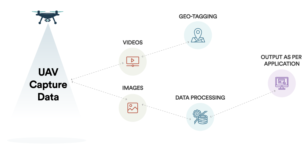
A drone survey refers to the use of a drone, or unmanned aerial vehicle (UAV), to capture aerial data with downward-facing sensors, such as RGB or multispectral cameras payloads. During a drone survey with an RGB camera, the ground is photographed several times from different angles, and each image is tagged with coordinates.
Photogrammetry combines images that contain the same point on the ground from multiple vantage points to yield detailed 2D and 3D maps.From this data, a photogrammetry software can create geo-referenced orthomosaics, elevation models or 3D models of the project area. These maps can also be used to extract information such as highly-accurate distances or volumetric measurements.
Unlike manned aircraft or satellite imagery, drones can fly at a much lower altitude, making the generation of high-resolution, high-accuracy data, much faster, less expensive and independent of atmospheric conditions such as cloud cover.
How it work
DRONE SURVEY
UAV Generated Data
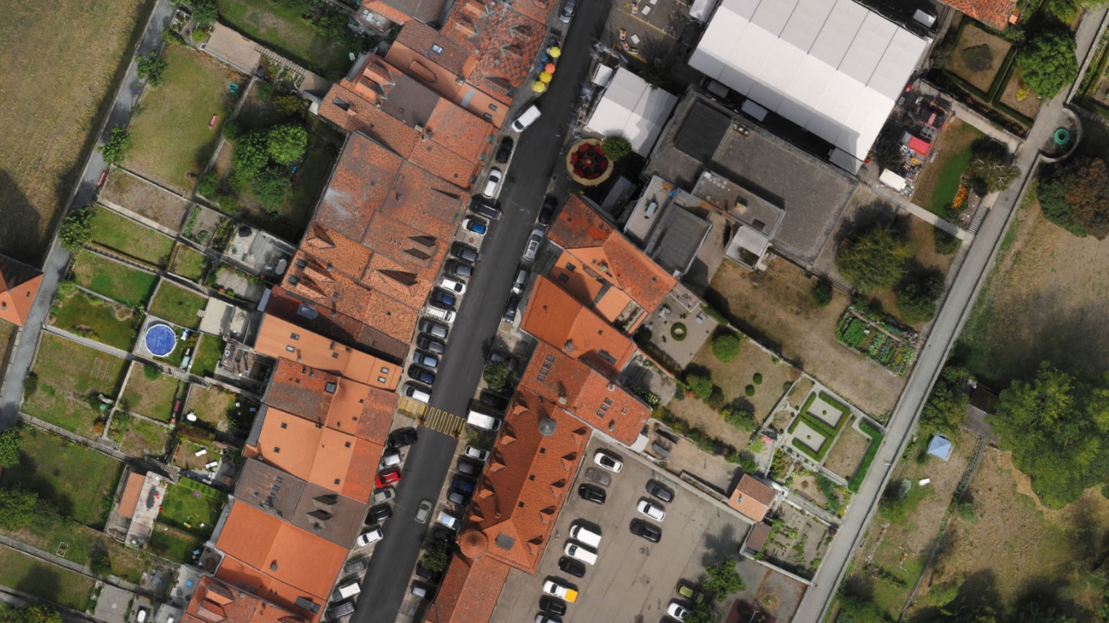 An orthophoto, orthophotograph or orthoimage is an aerial photograph ge-ometrically corrected (“orthorectified”) such that the scale is uniform: the photo has the same lack of distortion as a map. Unlike an uncorrected aerial photo-graph, an orthophotograph can be used to measure true distances, because it is an accurate representation of the earth’s surface, having been adjusted for topographic relief, lens distortion, and camera tilt.
 Digital Terrain Models (DTM) sometimes called Digital Elevation Models (DEM) is a topographic model of the bare Earth that can be manipulated by computer programs.The data files contain the elevation data of the terrain in a digital for-mat which relates to a rectangular grid. Vegetation, buildings and other cultural features are removed digitally – leaving just the underlying terrain.DTMs are used especially in civil engineering, geodesy & surveying, geophysics, geog-raphy and remote sensing.
 Digital Surface Model (DSM) that includes ground surface, vegetation and man-made objects. DSM demonstrate the natural and artificial features on the Earth’s surface. Digital Surface Model may be useful for RF planning, land-scape modelling, city modelling, visualization applications and more.
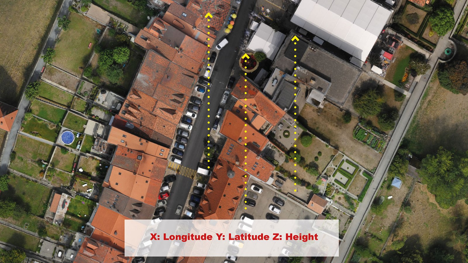
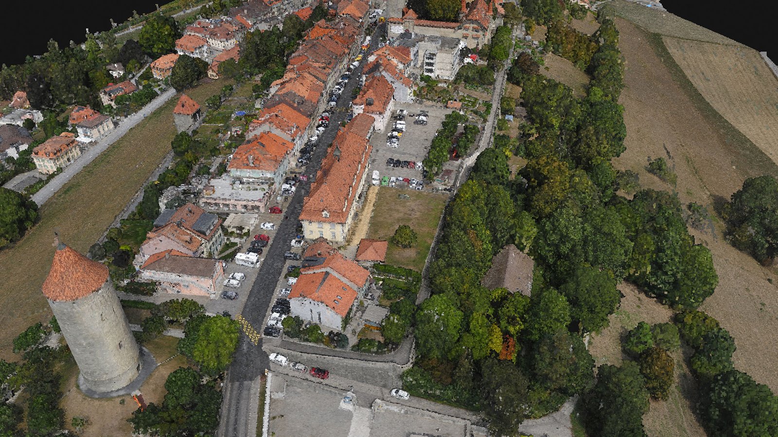 A point cloud is a set of data points in space. The points represent a 3D shape or object. Each point has its set of X, Y and Z coordinates. Point clouds are generally produced by photogrammetry software, which measure many points on the external surfaces of objects around them. As the output of 3D scanning processes, point clouds has many applications.
 A 3D mesh is the structural build of a 3D model consisting of polygons. 3D meshes use reference points in X, Y and Z axes to define shapes with height, width and depth.
While it can take large numbers of polygons to make a 3D mesh approach photorealism, these relatively simple shapes allow for faster processing than other techniques, like NURBS, that produce smooth curves. The polygons used are typically quadrangles or triangles; these geometric shapes can be further broken down into vertices in X, Y, Z coordinates and lines.
 The Grid Points are simply the conversion of the Digital Elevation Model (DEM) either DTM or DSM at certain equal intervals. This data is particularly helpful in interoperability between different working software environments.
 Geotagging, or GeoTagging, is the process of adding geographical identifi-cation metadata to various media such as a geotagged photograph or video. Two main options can be used to geotag photos: capturing GPS information at the time the video is taken or “attaching” geocoordinates to the video after the picture is taken.
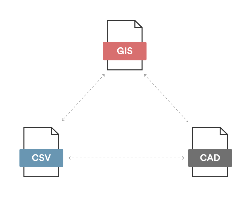
Seamless Data Integration
DRONE SURVEY
Our Expertise
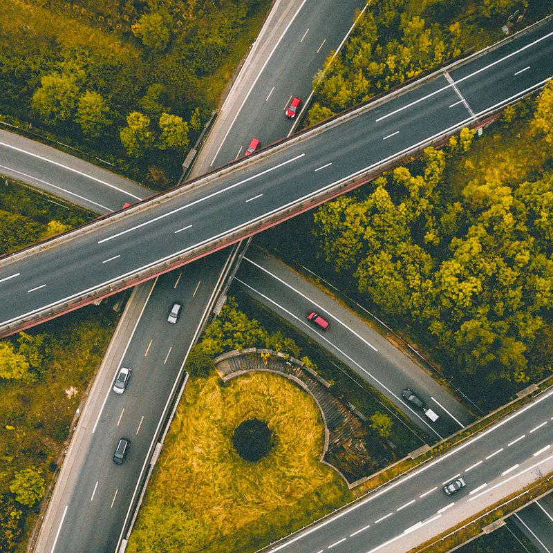
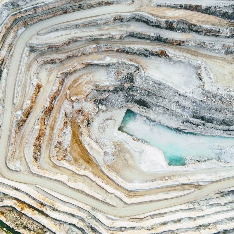
We have expertise in other UAV surveys using application-specific sensors. Some of the surveys we conduct are solar power plant surveys us-ing a thermal camera, Windmill survey using zoomed-lenses, roads & utility survey with asset mapping, transmission line survey, GIS map-ping with multi-software data outputs& Data processing using the photogrammetry software. Delivering high quality outputs and services.

Solar

windmill
Roads & Utilities
Mining

GIS & Mapping

Data Processing
Let's start something
completely new together
Drop us a line, and we’ll get in touch.
We’ll see if we’re a match and how we can help each other.
We’ll see if we’re a match and how we can help each other.
